
Abstract

Porphyry copper deposits provide around 75% of the world's copper and are an important source of gold and other metals (Sillitoe 2010). One aspect of porphyry deposit models that is poorly understood is whether the mineralising fluids from which they form are derived from: (i) high-level copper-rich porphyry magmatic stocks; (ii) feeder chambers at mid-upper crustal levels; (iii) a lower crustal reservoir; or (iv) a combination of these in a transcrustal mush zone (e.g. Cashman et al. 2017). The high level porphyry stock is often assumed to be the fluid source as it is invariably mineralised and can usually be temporally and texturally linked to the mineralisation. It is unlikely, however, that enough fluid could be derived from such a limited volume of magma. It seems probable therefore that much of the fluid came from a deeper source, possibly 5–15 km, although how fluids are transported from such depths is poorly understood.
Tectonic tilting means that the classic Yerington District, Nevada, offers a rare opportunity to study a well-exposed section through the Yerington Batholith and a number of porphyry copper deposits, from the volcanic to plutonic environments, to a paleo-depth of circa 8 km (Dilles 1987). We present textural evidence for the nature and depth of fluid exsolution and for the mechanisms by which fluids migrated upwards to generate porphyry deposits (e.g. Figure 1). The evidence is contextualised within the framework of our new high precision CA-ID-TIMS zircon U-Pb geochronological data which readdresses the relationship between the emplacement of plutons and dykes, volcanism and mineralisation in the Yerington Batholith.
Field photograph of textures interpreted as evidence for fluid exsolution and migration within the Yerington Mine (historically worked by Anaconda Co.).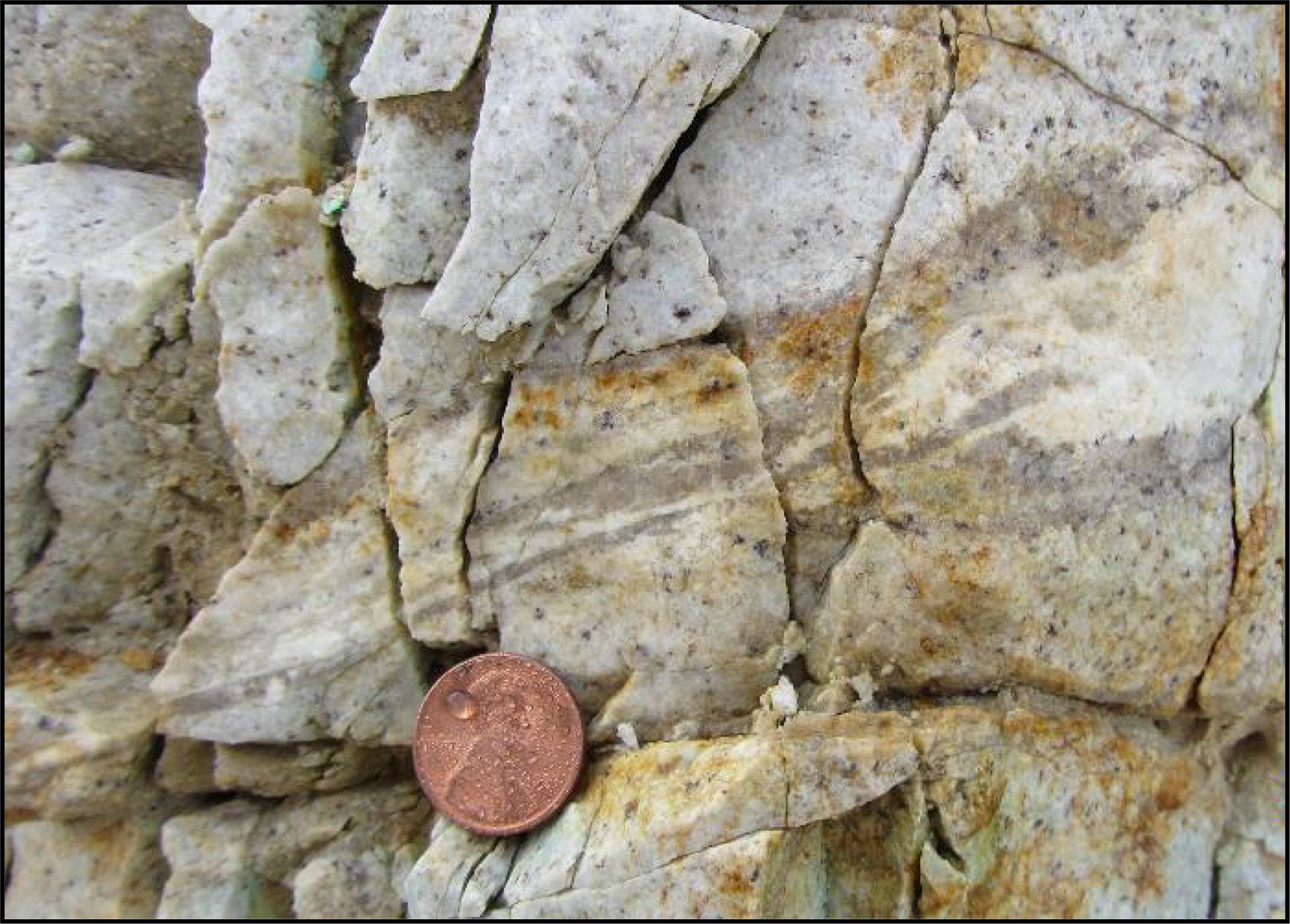
Footnotes
Disclosure statement
No potential conflict of interest was reported by the authors.