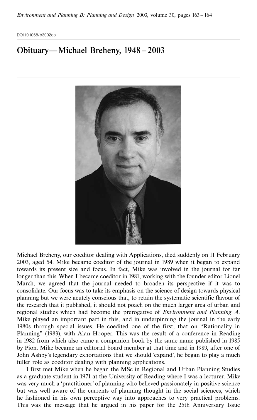
Obituary
Select search scope: search across all journals or within the current journal

In a previous paper, emergence and ways of computing with emergence were discussed. Emergence goes hand in hand with ambiguity. Ambiguity, of a particular kind, is foundational in shape grammars. Shape grammars compute with shapes that have ambiguous or indefinite parts. This
Research on neighborhoods is dominated by a focus on the social aspects of neighborhood life. The ability of neighborhoods to function as service providers is a critical and understudied aspect of neighborhood research. This paper offers a methodological contribution of the analysis of neighborhoods as service providers. Provision of services is defined in terms of accessibility, or the spatial proximities between residents and the facilities. Because the focus is on neighborhoods, access is defined on the basis of the pedestrian rather than the automobile. In addition, the needs of the neighborhood population are considered. A case study of Portland, Oregon, is used to demonstrate how an evaluation of pedestrian access could be conducted at the neighborhood scale.
In line with the paradigmatic shift towards spatial ecology, it is generally accepted that the conservation value of a habitat remnant cannot be determined in isolation from its wider landscape. Sensitivity to the spatial context of forest patches should, therefore, characterise habitat management. Conversely, neoliberal planning disregards ecospatial configuration because it abandons resource decisionmaking to the spatially ad hoc outcomes of market processes. Analysis of bush-lot subdivision—the foremost protection mechanism for indigenous habitat on private land in the Auckland Region—demonstrates that the neoliberal agenda for planning contradicts fundamental tenets of conservation ecology. With its foundations in voluntarism and market mechanisms, bush-lot subdivision induces selection bias in the location of protected remnants. Strategic and interventionist approaches will be required to moderate the impact of habitat loss, fragmentation, and perforation.
Despite the popularity of the neotraditional development concept, attempts to investigate the effectiveness of various mixed-use core (MUC) designs in terms of induced localized walking trips are rare. In this study, we use the logsum measure of accessibility derived from a random utility model to investigate how neighborhood design and regional setting affect mode and destination choices for shopping and how these effects vary by income and day of week. We then use the random utility model to simulate changes in the design configuration of the neighborhood MUC and evaluate the effects of the changes on
This paper outlines a method for using the mathematics of fuzzy sets that is well suited to measure and characterize periurbanizing (
The land-acquisition problem involves selecting multiple discrete parcels to be acquired for a particular land use. In previous models, typical selection criteria have been land cost, land area, and spatial attributes such as contiguity and compactness. Here I introduce a new spatial attribute, convexity. I develop a way to approximate convex shapes in continuous space with ‘cellularly convex’ shapes composed of grid cells. A zero-one programming model is formulated for finding minimum-cost cellularly convex regions of specified area. Computational experience with 144-cell and 1024-cell demonstration problems is reported, and results and extensions are discussed.
To what extent does the evolution of 20th-century residential area planning and development reflect the profound changes that have affected society over this period? How much was this evolution shaped by successive planning models formulated over the last century? The paper reports on an analysis of the land-use patterns of four neighbourhoods developed at different times over the 20th century. Data originate from field surveys and a systematic measurement of the land uses of the study areas. Findings paint a mixed picture. They show that some societal changes (rising affluence for example) have affected neighbourhood morphology, whereas others (such as cultural diversification) have left few traces. A comparison of different land-use features identifies both the advantages and downsides of each neighbourhood's morphology. It becomes difficult in this light to perceive the evolution of neighbourhood planning as a linear progression towards improved land-use efficiency and quality of life.
A relationship between human preferences for physical properties of visual texture is established in this paper. The author asks whether there is a measurable correlation between aesthetic ratings for textural images and their physical properties. A bank of Gabor filters covering a range of frequencies and orientations are used to extract properties. Three studies are conducted and the correlations between aesthetic ratings and the properties were significant and large. The correlations proved robust when image identifiability was incorporated in the first and third studies and removed from the second study. In this, it is suggested that memory and association are not exclusively driving (aesthetic) preference; that it is also tuned to properties of spatial frequency and orientation of certain visual stimuli.

